
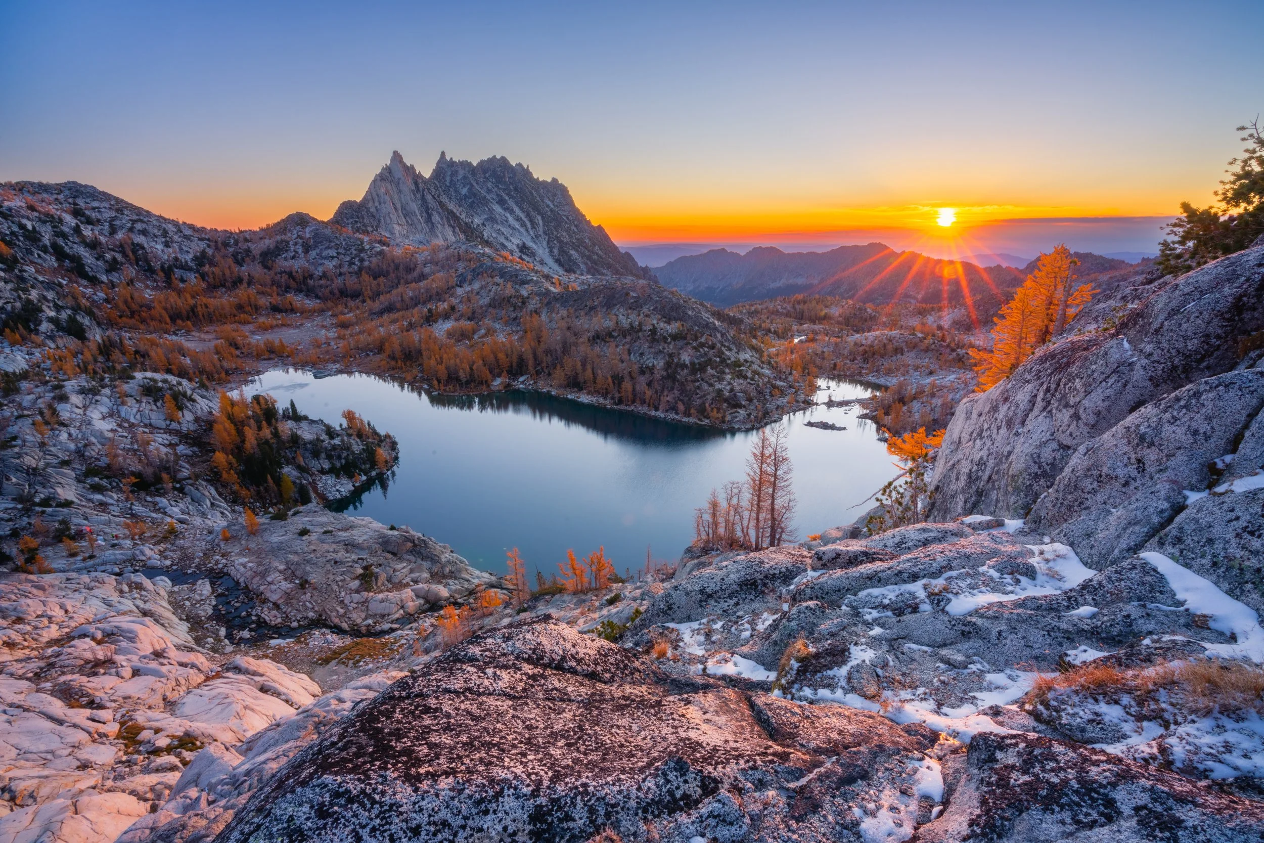
Tell Your Story
With custom maps by Northwest Portal
Web maps, print maps and mobile apps
Customized to tell your story!

Custom solutions built on a comprehensive framework.
Northwest Portal maps start with all of the recreation opportunities in your area: parks, trails, facilities and more. Data is regularly updated to show seasonal and temporary closures, new information and new recreation opportunities.
We work with you to add and maintain custom content.
Add your businesses, tour routes, and highlights,
Link to your web pages or blogs,
Customize the colors and icons,


-
Northwest Portal’s data set has over 20,000 recreation opportunities in Washington, Idaho and Oregon. It was developed from over 200 authoritative sources, and has every time of recreation manager and activity. The data is updated regularly, to reflect seasonal and emergency closures, identify new places that have opened, and update information on existing places. Northwest Portal can map recreation in any area, or add custom data to meet the needs of any project.
-
Northwest Portal’s maps can be customized to tell your story. This can include what information is shown on the map, what items are highlighted or most visible, the icons used, the basemap and even the colors and fonts. In addition, you can customize the filters that people can use to highlight places, and the content that appears in the pop-ups (including having links to your web page or blog post.) Add in tour routes, highlight upcoming events, and customize the background.
-
Every custom map includes a set number of businesses that can be added. Northwest Portal will add the businesses to our data set, and verify the business information annually. Businesses can update their information at any time by reaching out to us through our update form and businesses that have a regular seasonal closure (or change in hours) can let us know and we will automatically update their information at the scheduled date. Adding businesses is easy, give us a list of the buisnesses you want included and will we do the work to map them and add in the attribute information. Once you add your businesses, they will not only be on your map, they will also appear on the Northwest Portal recreation maps and apps, and, if you agree to allow other businesses on your maps, your businesses will be on all partner maps that agree to reciprocity.
-
Our basic package includes a fully-custom web map and printable maps. You can add on a mobile app for Apple and Android. We do multi-format products because each format has its advantages: print maps in handouts and brochures can help inspire visitors to explore your area. Web maps offer the ability to dig in and get more information, to explore and to navigate (using your phone GPS) without having to download an app. Web maps can also be used in many ways: highlight a single business or recreation opportunity or all places mentioned in an article or page, and then embed the map to help illustrate your story. Apps have the advantage that their optimized for mobile users.
-
Yes, Northwest Portal fully custom maps that we can produce anywhere in the world. In Washington, Idaho and Oregon you can choose from a fully custom map (you control all elements), a semi-custom map (an interface with your logo, sponsor and filters on one of our common recreation map), or you can integrate your businesses onto our maps and use the standard map url to load.
-
You can choose from a package that combines a custom or semi-custom map, a set number of businesses and print maps for a single price, you can pay an a-la-cart price for the project or we can provide the map in exchange for fees from businesses to be added.
Fully Custom Maps
Fully custom maps allow the client to modify every aspect of the map including basemap (airphoto, simple, public lands, etc.) colors, data, filters, search fields and pop-ups. Custom data layers can be added and maps can be created for different languages. Custom maps also allow control over which places are highlighted, what types of information is included, and what area is shown. Maps in the Pacific Northwest are built on the Northwest Portal data set, but maps can be created for any place in the world.
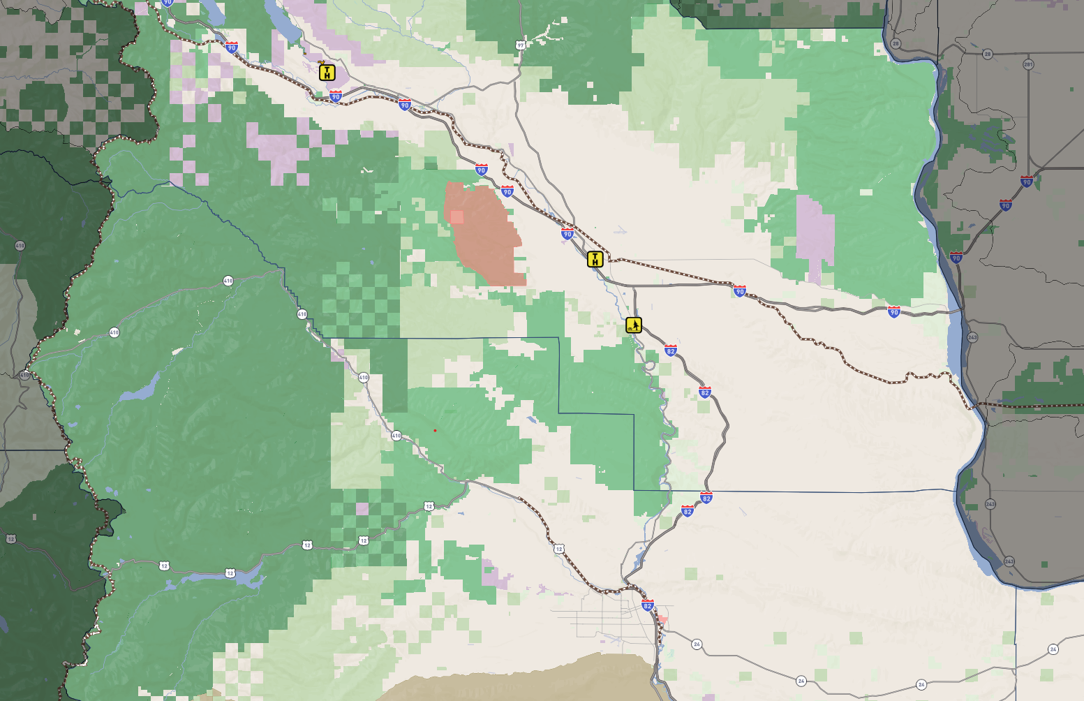
Olympic Peninsula Recreation Collaborative
The Olympic Peninsula Recreation Collaborative is initially focused on understanding and improving camping access on the peninsula. For this map, official campgrounds are shown when the map loads with a square icon. Because so many of the camping opportunities on the peninsula are smaller individual sites, a custom data layer was created with the approximate location of AirB&B, HipCamp and Harvest Host Camprgounds. Those opportunities are visible as you zoom in. Public recreation lands are coded to show if dispersed camping is allowed. The map also has all public recreation facilities, access, areas and trails layered the camping opportunities.
Watchable Wildlife
Mid-Columbia Fisheries got a three year Watchable Wildlife grant from the Washington Department of Fish and Wildlife. As part of this project, Northwest Portal is providing an interactive map of wildlife watching opportunities in Washington State. When finished, this map will highlight the locations where Mid-Columbia Fisheries hosts school projects as well as other locations that are favorites for wildlife watching and it will have points of interest highlight different habitats and species. When the map is complete, there will be versions in English and Spanish. The map is built on the Northwest Portal recreation data set so, as people zoom in, they will get information on the recreation facilities and access, roads and trails that allow them to find their next adventure. The maps are updated to show seasonal and emergency closures.
Semi Custom Maps and Community Packages
Northwest Portal can create a map that combines your businesses and nearby recreation, attractions and events. Choose from a semi-custom map, which uses our community map or one of our recreation maps as a base, with your businesses, custom filters and sponsors; or get a fully custom map, where you define every element. In either case, your businesses will also be added to our recreation maps and apps.
Downtown Walla Walla
For the semi-custom Walla Walla map, we mapped all of the businesses in the Walla Walla Downtown Association database, integrated their information into our database, and researched each business to verify information and add details to support the maps. We will also be adding in events, and data relevant to this project, such as street parking. The map uses the community map base mapb, but the sponsors and filters are customized for this project. This project is being finalized, when done, it will be integrated into the downtown association web page and businesses will be invited to add the map to their page. This map could also be used for a kiosk.


Brewster, Washington
This small town on the Columbia River is a destination for both summer and winter recreation. We added the Chamber’s member businesses and events, helped them integrate the maps onto their web page, and produced letter and poster sized maps of the downtown and of recreation in their area. Brewster uses the regular Northwest Portal Community and recreation maps, rather than a custom map interface.
Maps to Convey Any Type of Information
In addition to recreation and community maps, Northwest Portal can create maps to tell any story or convey any type of information.
For example, the history of settlement on Long Island in the Bahamas