
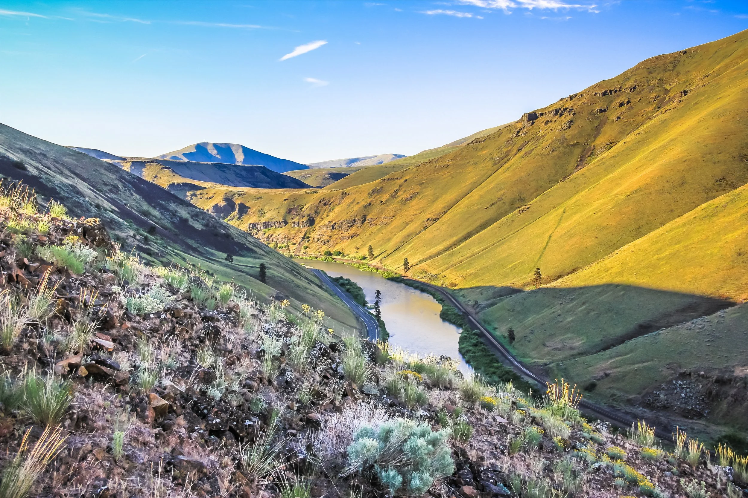
Kittitas County Outdoors
Get Out and Enjoy All the Region Has to Offer!
You Belong Here. ♡
Kittitas County Recreation Map
Free thanks to our supporting businesses
Pick up a copy of at locations around the county or download.
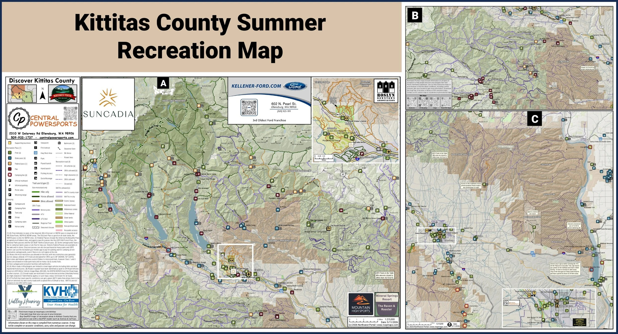
Brought to you by our sponsors
Kelleher Ford, Suncadia Resort & Central Power Sports
& supporting businesses
Valley Hearing, Kittitas Valley Hospital Cle Elum Urgent Care, Mountain High Sports, Mineral Springs Resort/The Raven Rooster and the Roslyn Downtown Association

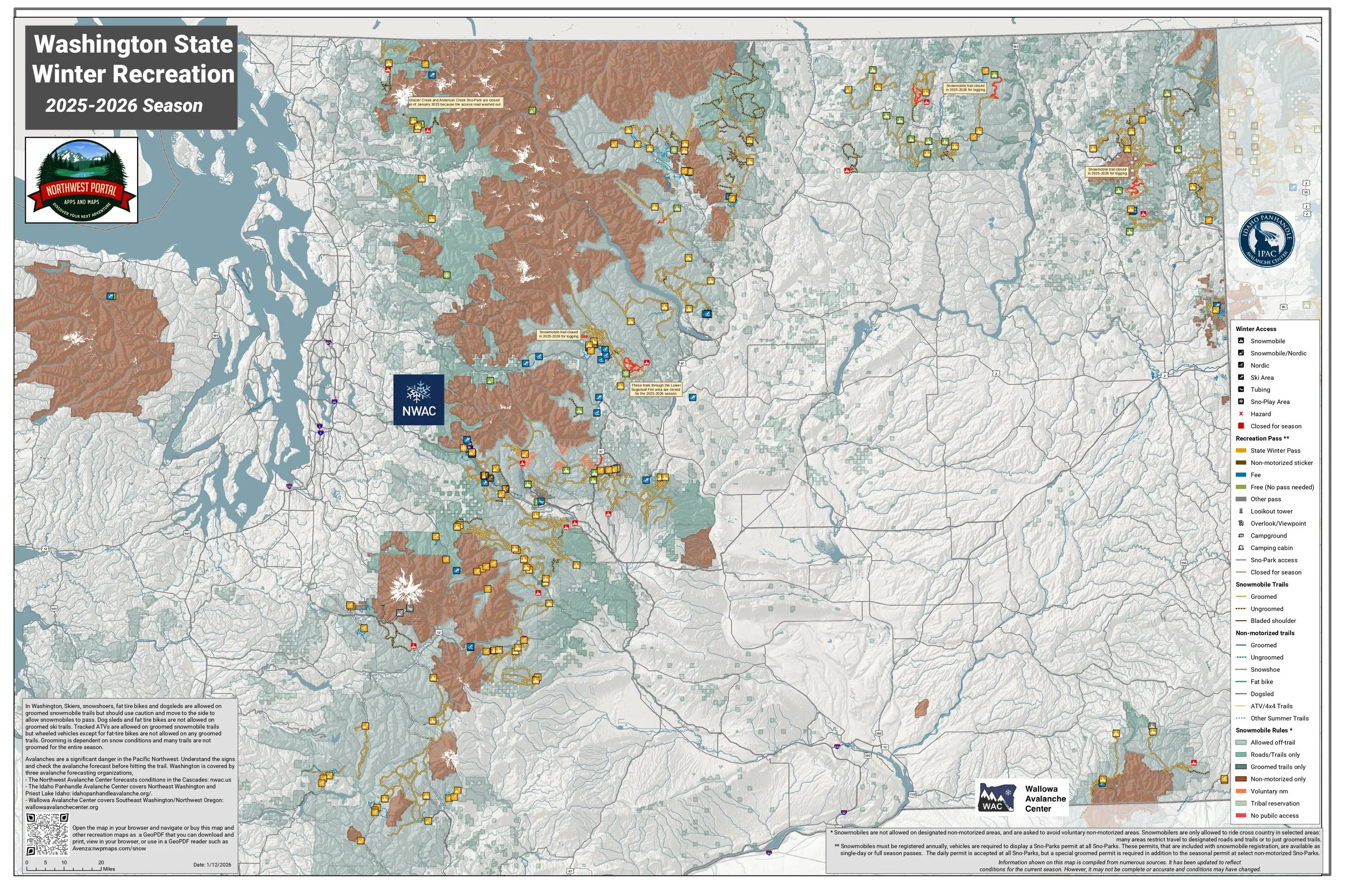
Washington State Recreation Map that you can use in your browser
Printable/GeoPDF maps
Download maps to print, view in your browser or use with a GeoPDF reader such as Avenza Maps.
Don’t see the map you want, use our contact form to let us know what maps you would like us to add to our collection. We will send you a link once the map is in the store.
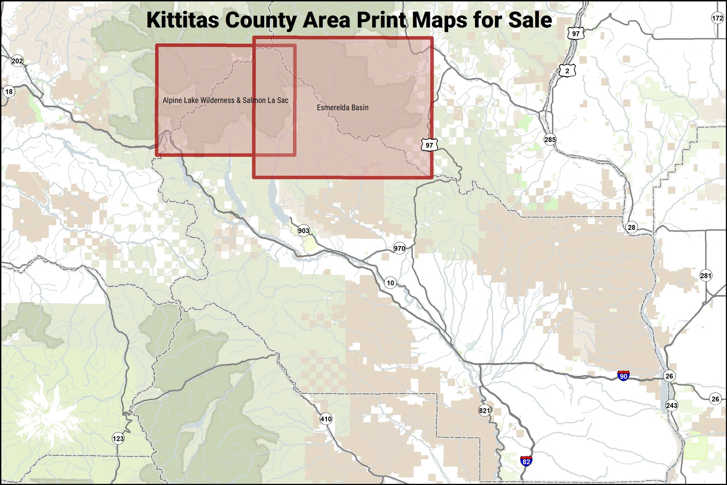
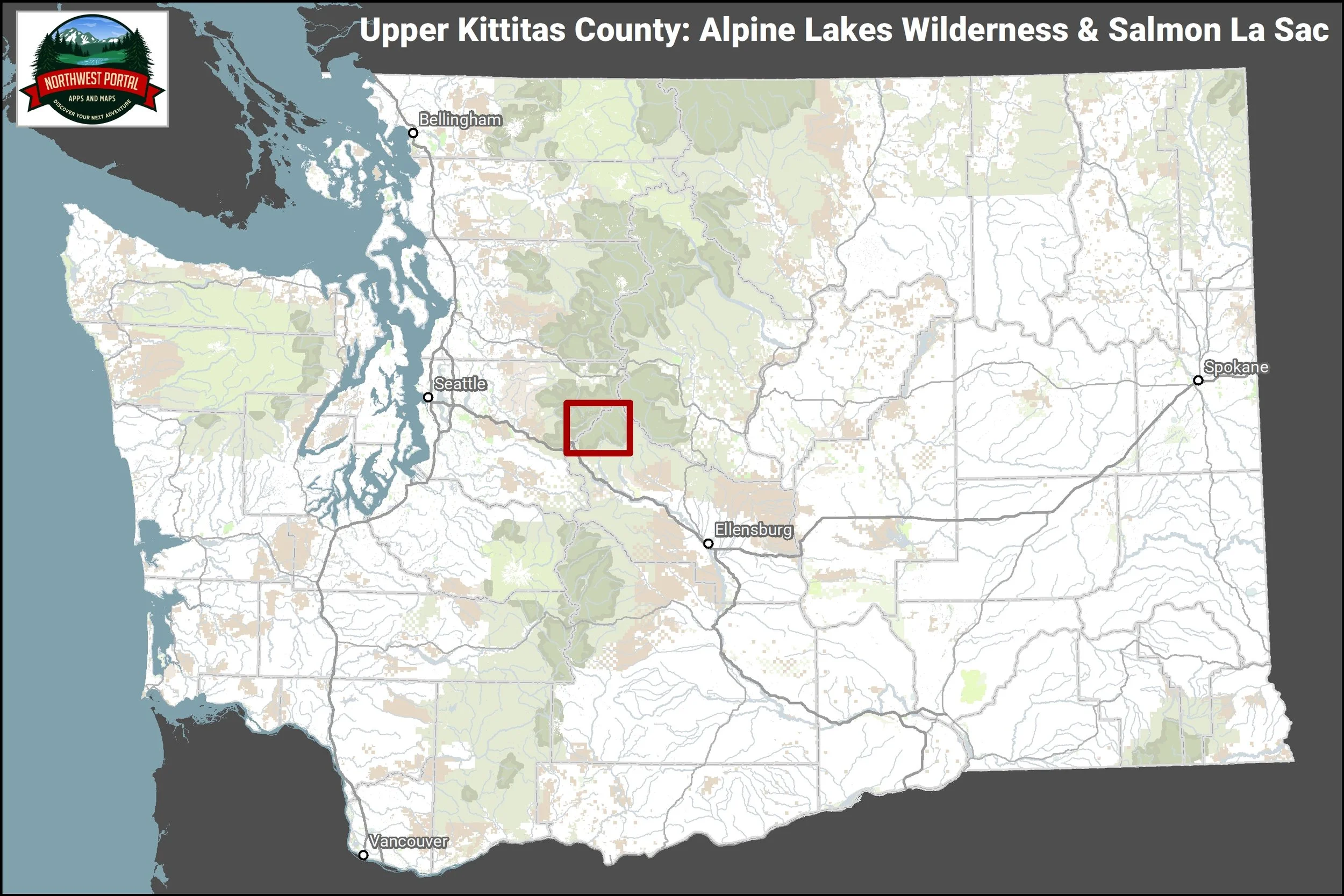
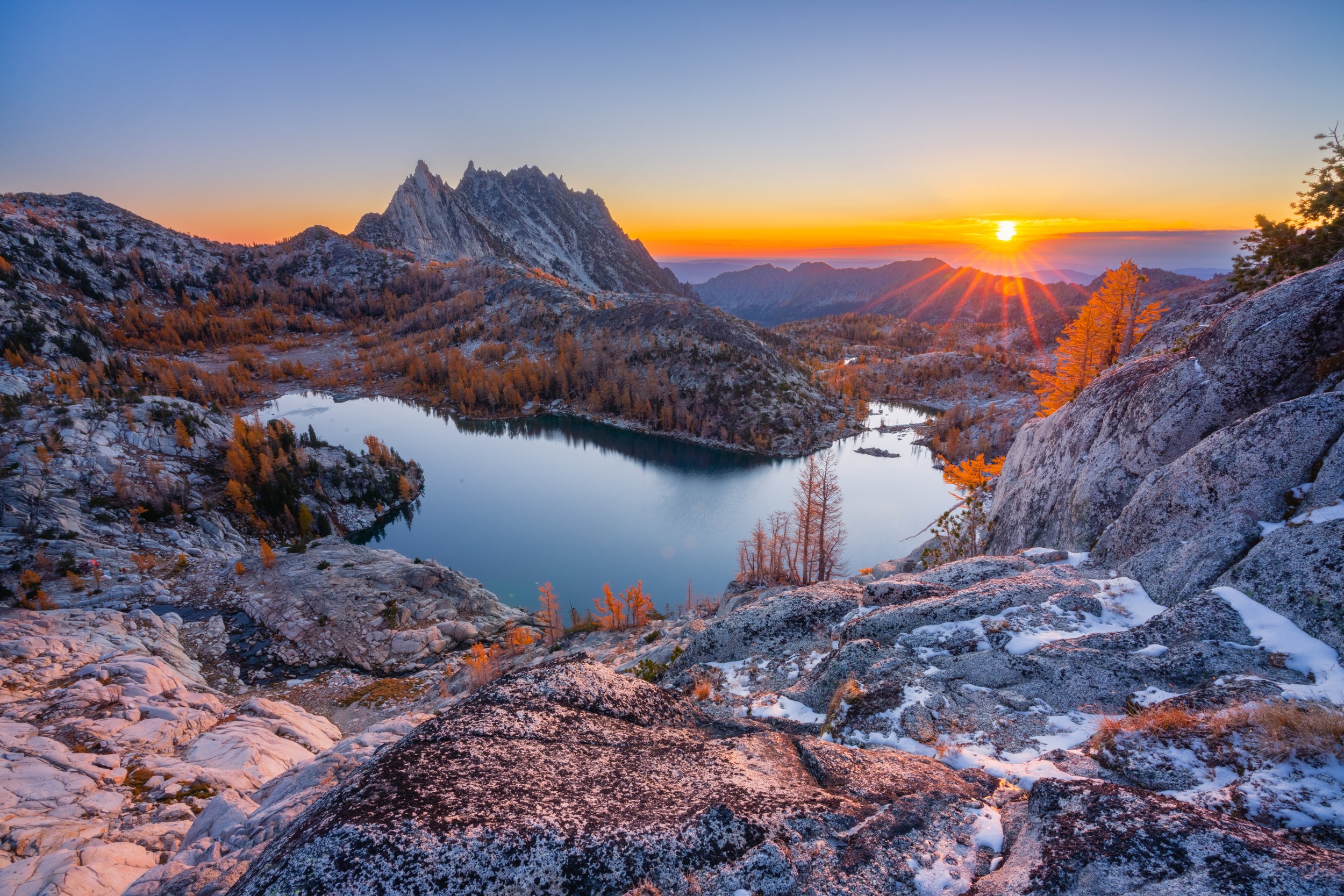
This tabloid sized (11×17”) map covers the Alpine Lakes Wilderness and Pacific Crest Trail from Snoqualmie Pass to the junction of Kittitas, King and Chelan Counties. It includes, the Pacific Crest Trail, and trails in the upper Middle Fork Snoqualmie River, Salmon La Sac and Kachess River areas. The map is at a scale of 1:90,000 and includes campgrounds and trails open to hikers, horseback riders and mountain bikers. Popular trails in the map area include the Kendall Catwalk on the Pacific Crest Trail, Pete Lake, Cooper River, Waptus River, Pollalie and the Middle Fork and Dutch Miller along the Middle-Fork Snoqualmie River in King County.
This map is part of the Northwest Portal recreation mapping project. The maps pull together summer and year-round recreation opportunities managed by all agencies into a single place. Each map is configured to showcase a popular recreation destination, with scales ranging from 1:24,000-1:140,000 to capture the full area. The information is presented so people can see what is most important at a glance: recreation facilities are color coded by the recreation pass that is needed for parking, trails and roads are color coded by the activities that are allowed, and recreation lands show who manages them. The information on the map is updated regularly.
Outdoors Northwest Blog Posts


Gathering good Recreation information is challenging. We work with:
Destination Management Organizations (DMOs) | Chambers of Commerce | Community organizations | Business Groups | Community Managers and more
to tell the story of Outdoor Recreation in Washington
Although we make every effort to work with land managers and user groups to ensure that the information and material on this app remains as accurate as possible, the information is from public sources and Northwest Portal has no way to verify the accuracy of the data. No representation or warranty, express or implied, is made or given about accuracy, completeness or suitability of the information or material for a particular purpose. Use of this website is at the risk of the user and we shall not be liable for any claim damage or loss whatsoever which may arise or result from such use.
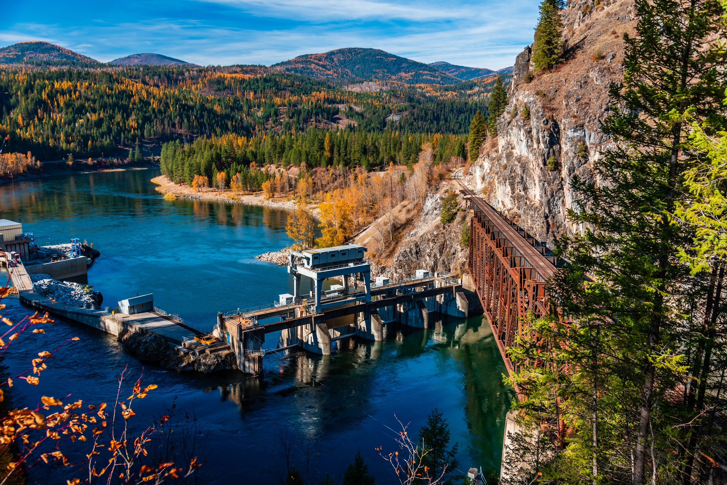
Eastern Washington State is a paradise for both wine and outdoor recreation. Here are three great destinations where you can taste wine at the vineyard and also enjoy an outdoor adventure.