
Print Maps
Print maps can be a valuable tool for planning and navigating trips. Northwest Portal offers PDF maps that you can download and print or use on your mobile device with a GeoPDF reader such as Avenza or CalTopo, promotional print maps that you can pick up free in selected areas, and, coming soon, printed maps that you will be able to buy at selected stores. We also offer custom maps to share or sell.
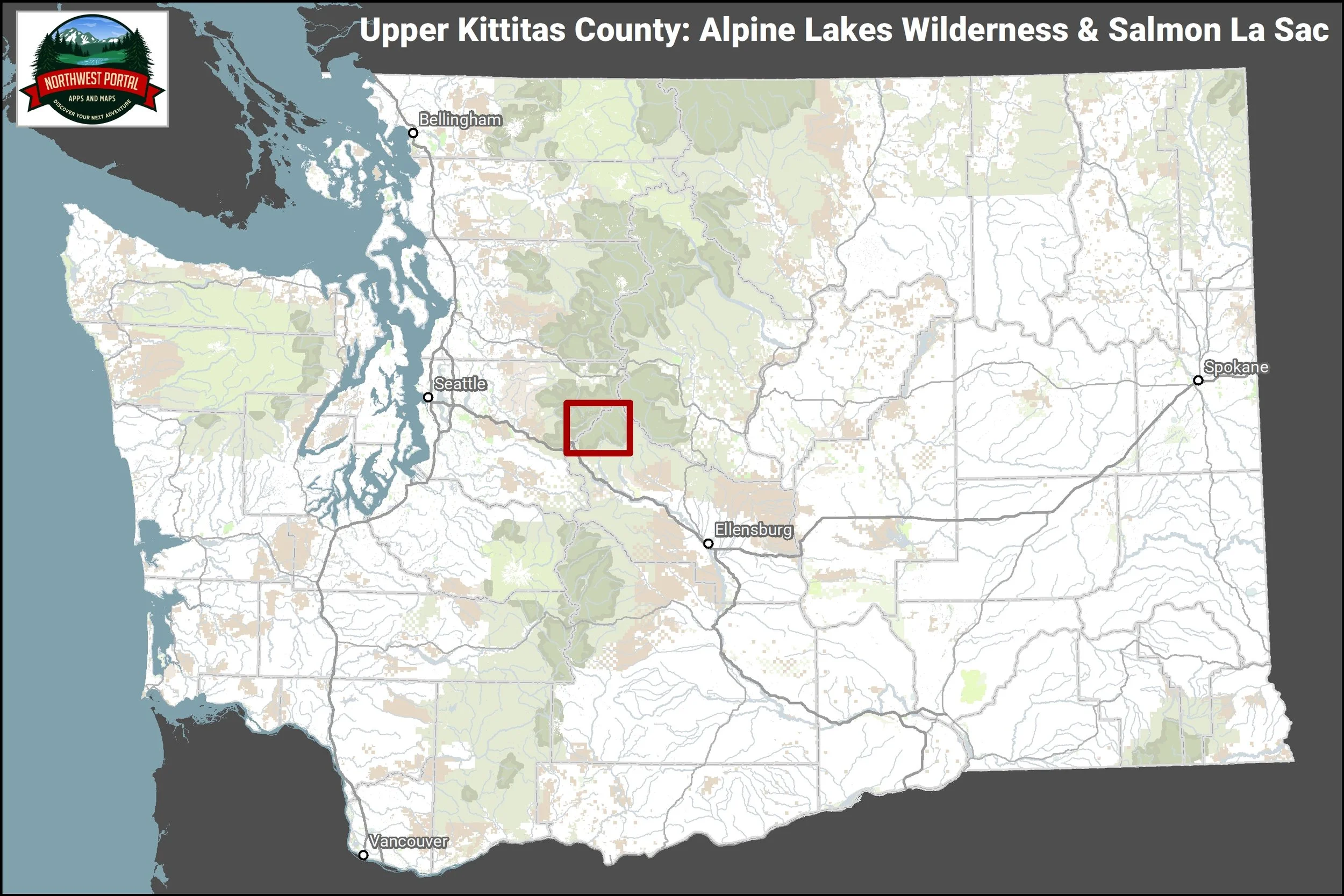

Kittitas County Advertiser Supported Map
Available at selected businesses and information offices.
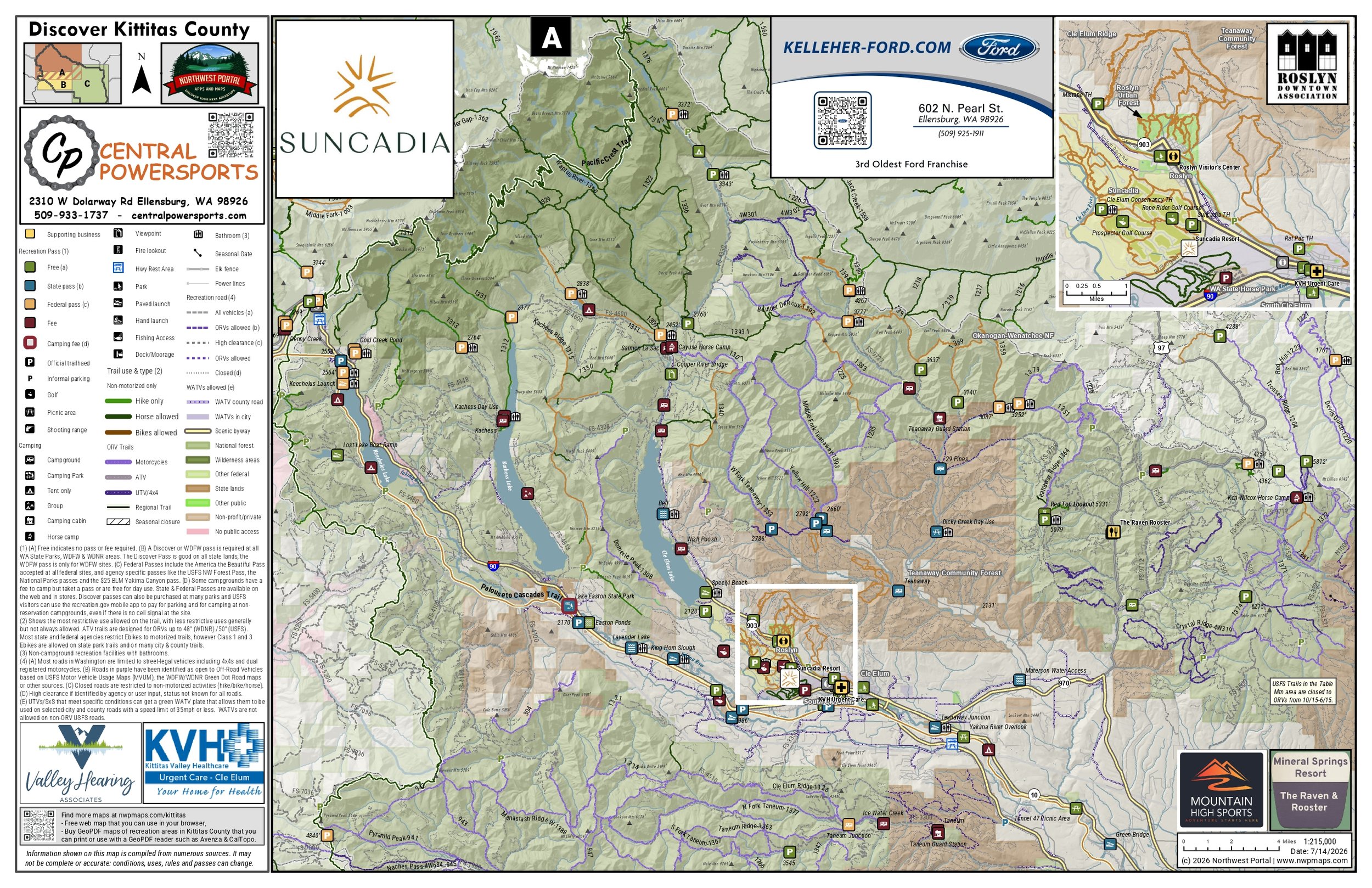
Supporting businesses will also be on the Northwest Portal Web maps including the outdoors, winter map, off-roading, dogs and boating.
Contact us to get more information or add your business.
509-312-0979 contact@northwestportal.com
Trail and Recreation Maps
Northwest Portal’s recreation maps are available for download. Print them or use on your mobile device with navigation programs including Avenza and CalTopo.
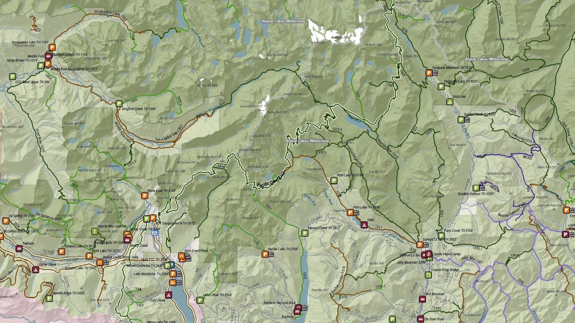
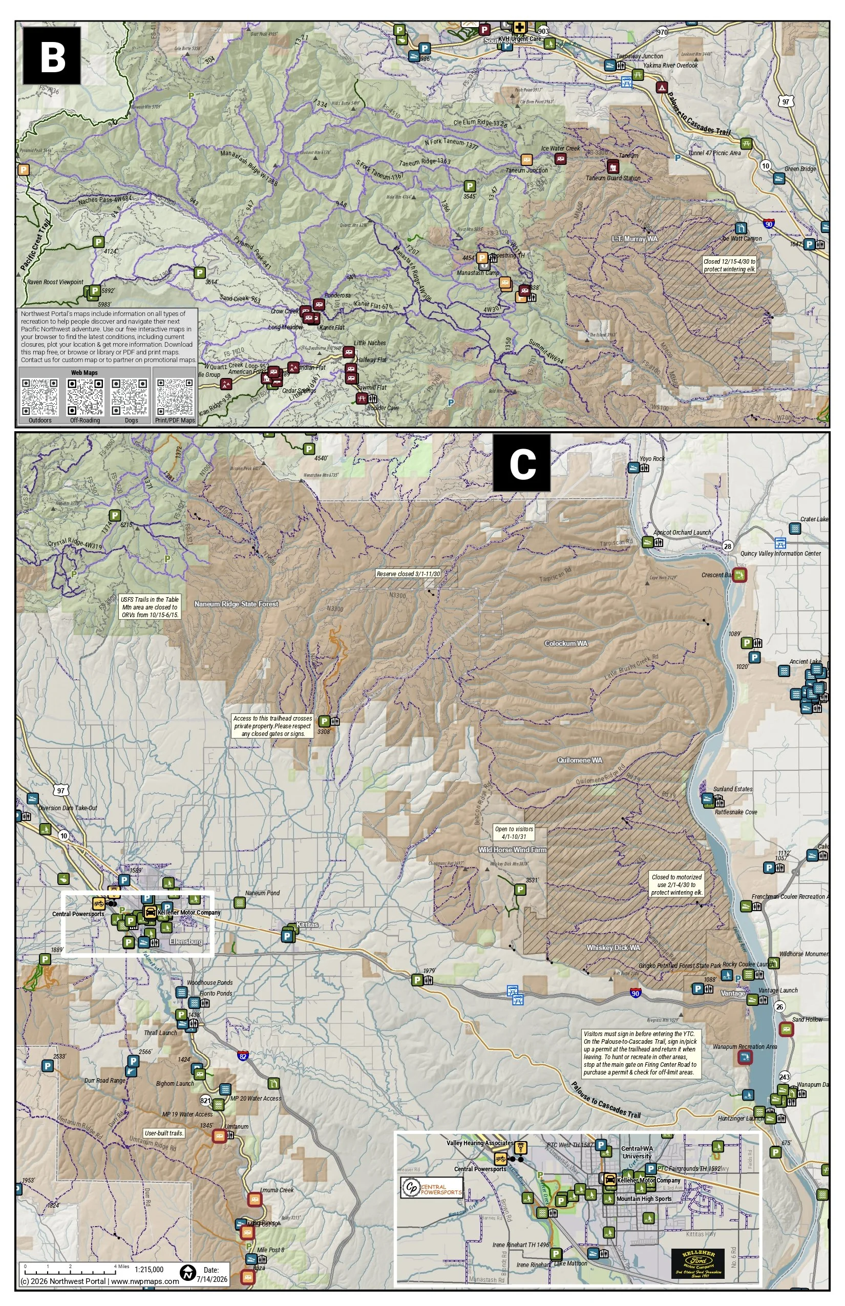
This tabloid sized (11×17”) map covers the Alpine Lakes Wilderness and Pacific Crest Trail from Snoqualmie Pass to the junction of Kittitas, King and Chelan Counties. It includes, the Pacific Crest Trail, and trails in the upper Middle Fork Snoqualmie River, Salmon La Sac and Kachess River areas. The map is at a scale of 1:90,000 and includes campgrounds and trails open to hikers, horseback riders and mountain bikers. Popular trails in the map area include the Kendall Catwalk on the Pacific Crest Trail, Pete Lake, Cooper River, Waptus River, Pollalie and the Middle Fork and Dutch Miller along the Middle-Fork Snoqualmie River in King County.
This map is part of the Northwest Portal recreation mapping project. The maps pull together summer and year-round recreation opportunities managed by all agencies into a single place. Each map is configured to showcase a popular recreation destination, with scales ranging from 1:24,000-1:140,000 to capture the full area. The information is presented so people can see what is most important at a glance: recreation facilities are color coded by the recreation pass that is needed for parking, trails and roads are color coded by the activities that are allowed, and recreation lands show who manages them. The information on the map is updated regularly.

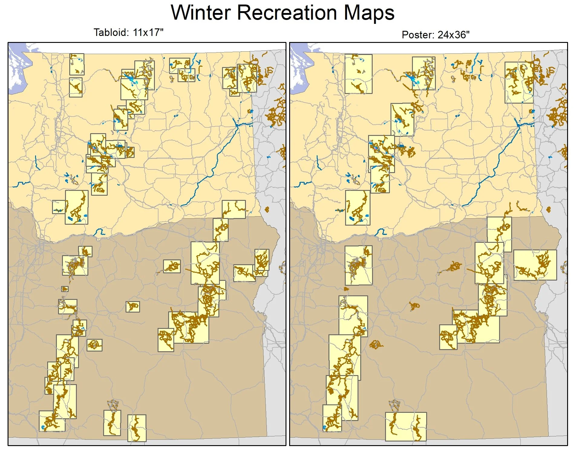
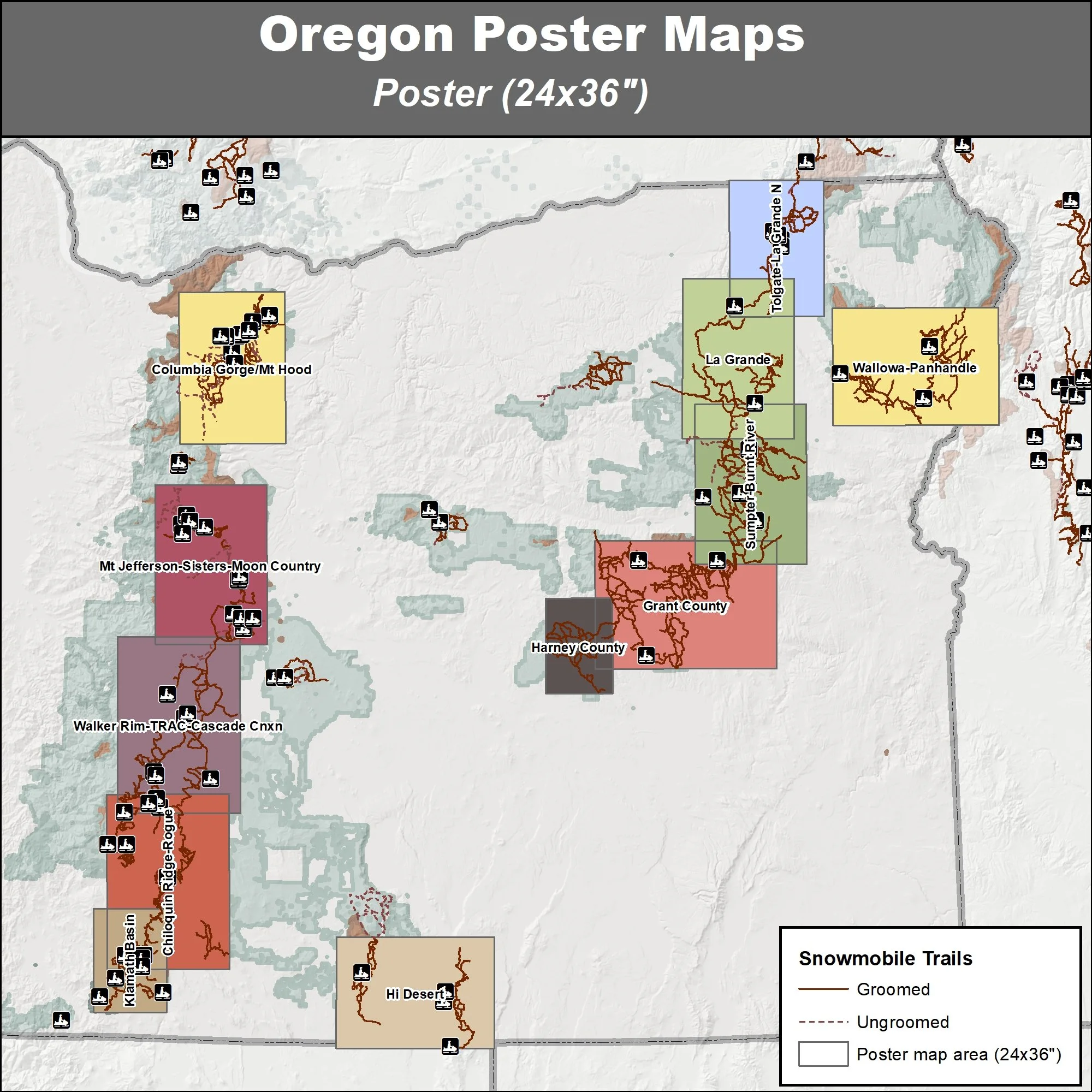
Winter Sports
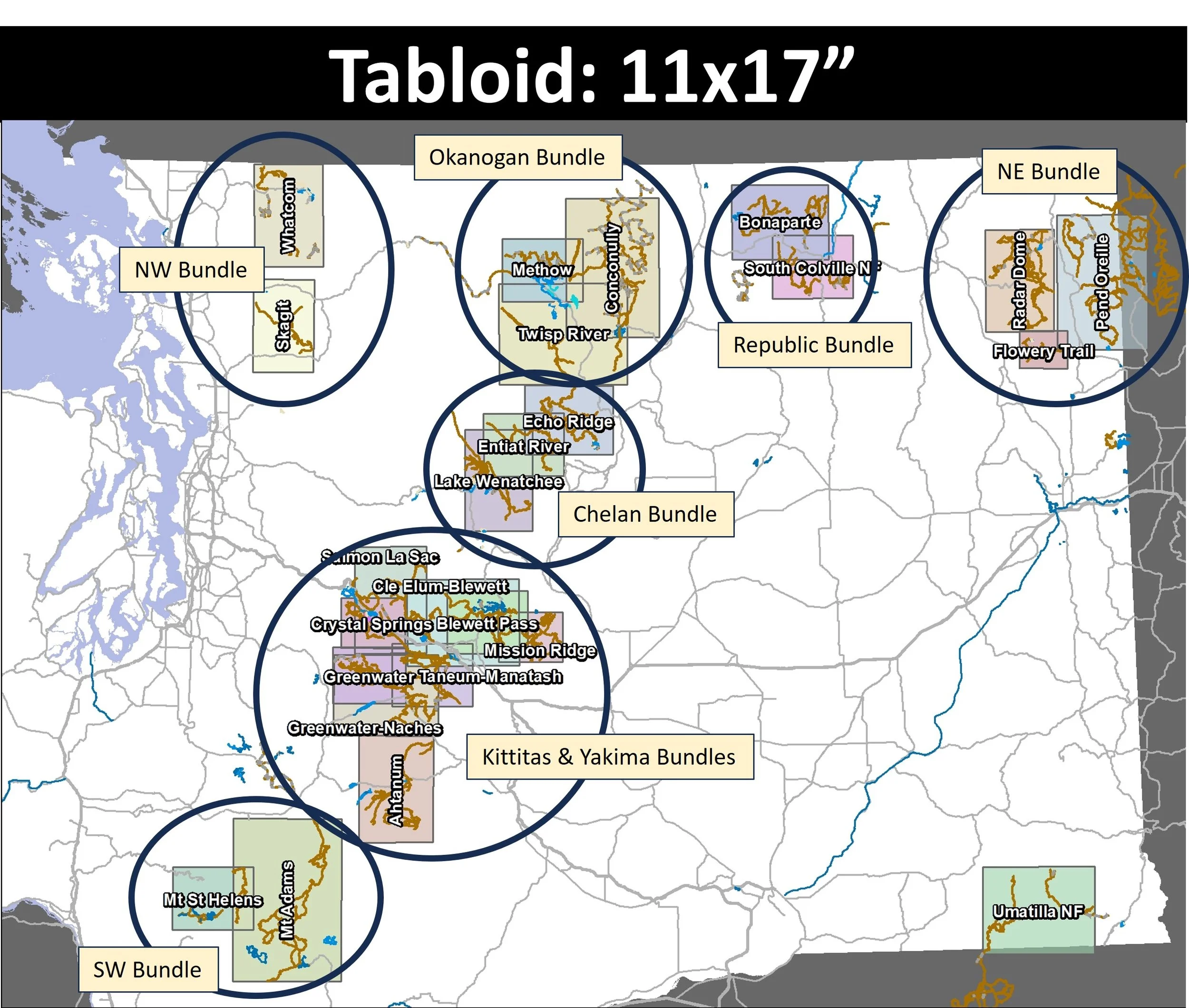
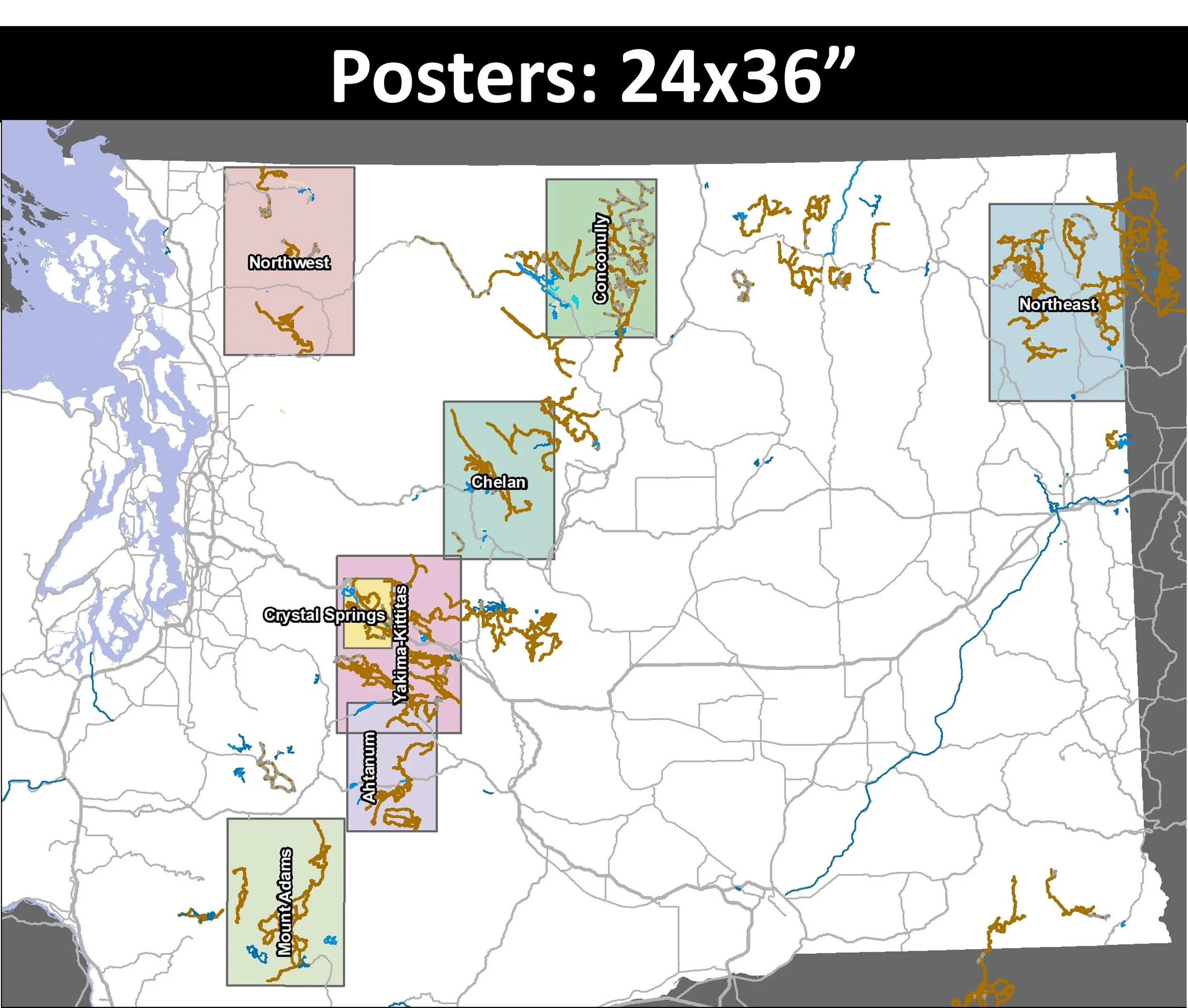
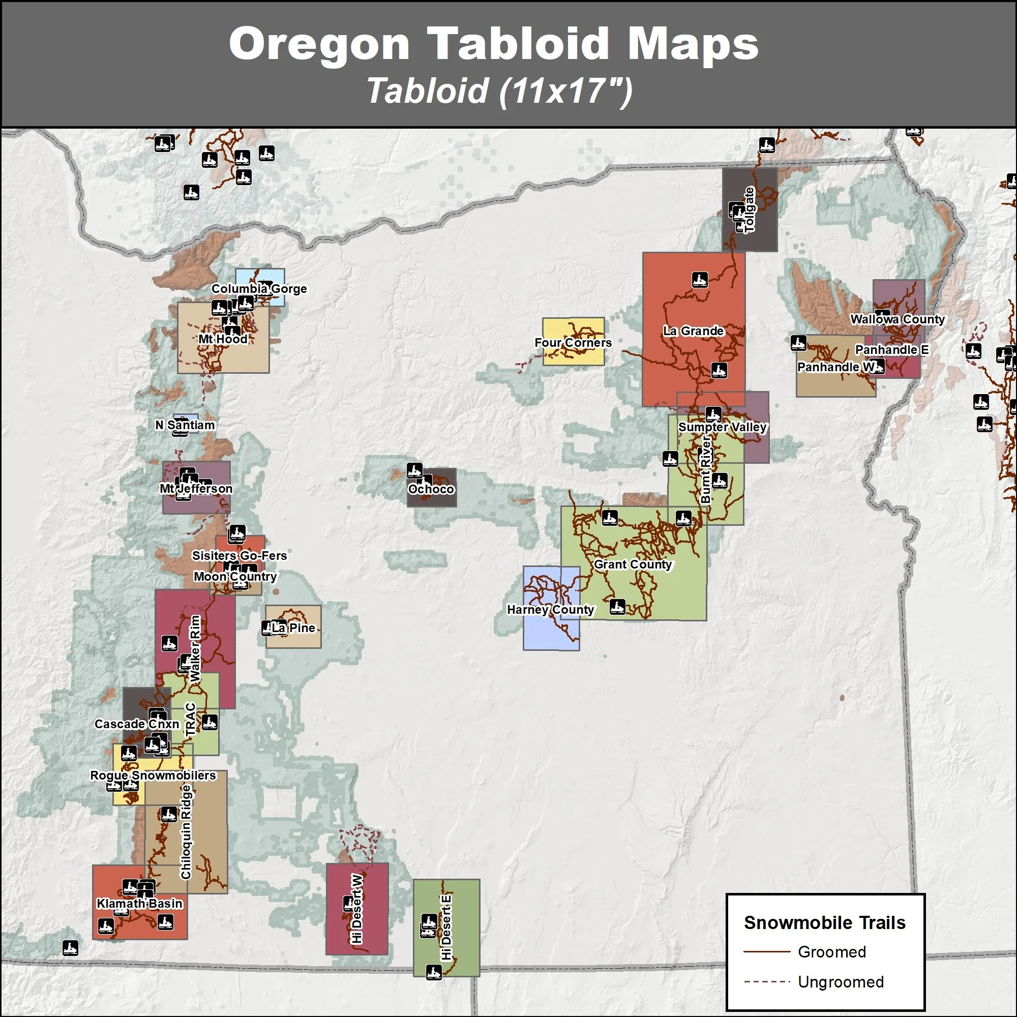
Northwest portal sells tabloid and poster sized winter maps of riding areas in Washington and Oregon. The maps are updated every year, with new maps posted by early December if there are any changes.
Find all of our winter maps and bundles on the Snow NW page
Washington maps and bundles
Oregon maps and bundles

Request an activity map, join our mailing list to get notified as we release new maps
Tell us what you are looking for in a map: area and activity focus, and we will send you an email when it is in the store.
Add Your Business, request maps to sell or partner with us
Let us know if you would like to be on the 2027 Kittitas county map, sell Northwest Portal maps or partner on a promotional map of your area.